Powerful offshore quake shakes northern Japan
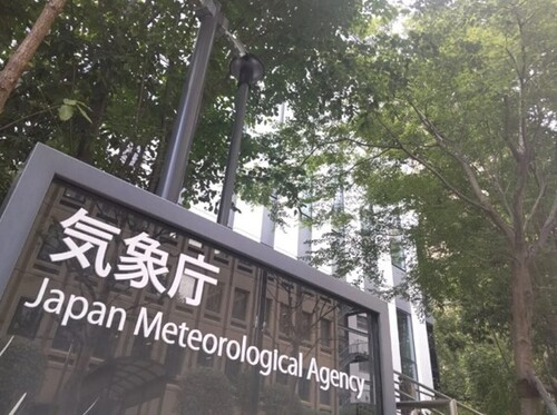
At approximately 7:30 a.m. JST on the 25th, a strong earthquake struck off the coast of Iwate Prefecture, according to the Japan Meteorological Agency (JMA). The quake had an estimated magnitude of 6.9 with a focal depth of about 50 kilometers. The strongest shaking, classified as upper 6 (shindo 6+), was recorded in Hashikami Town, Aomori Prefecture. Nearby Hachinohe City registered lower 6 (shindo 6−), while upper 5 (shindo 5+) was reported in parts of Aomori and Iwate, including Sannohe Town, Fudai Village, Morioka City, Ninohe City, Hachimantai City, and Karumai Town.
What the intensity ratings mean
Japan’s shindo scale measures the intensity of shaking at specific locations, focusing on what people feel and what damage may occur. At shindo 6+, it becomes difficult to stand; unsecured furniture can move or topple, and older or non-reinforced buildings may sustain damage. Magnitude, by contrast, reflects the earthquake’s overall energy at the source (M6.9 in this case). Using both measures helps authorities and residents quickly gauge local risk and prioritize safety checks.
Situation and response
Authorities in Aomori and Iwate initiated rapid assessments, prioritizing life safety, critical infrastructure, and transportation networks. Initial information on damage and injuries was not immediately available as surveys were ongoing. In Japan, railways and expressways in affected zones are typically inspected after strong shaking, which can lead to temporary service suspensions or delays as a precaution. Utilities conduct automatic shutdowns and safety checks to prevent secondary incidents. The JMA continues to monitor seismic activity, noting that aftershocks can occur in the hours and days following a major event.
Preparedness pays off
Japan’s world-class earthquake readiness—anchored by strict building codes, advanced monitoring systems, and public training—helps communities absorb shocks and recover swiftly. The nationwide Earthquake Early Warning system can, in many cases, provide a few seconds of notice before the strongest shaking arrives, enabling trains to slow, factories to pause, and people to take cover. Regular disaster drills at schools and workplaces, robust municipal alert networks, and community volunteer groups all contribute to a culture of preparedness that saves lives.
Where this happened
The epicentral area off Iwate lies along the Pacific coast of the Tohoku region, north of Sendai and south of Hokkaido. Cities such as Morioka (inland) and Hachinohe (coastal Aomori) are regional hubs for education, industry, and logistics. The area experiences frequent seismic activity, and communities have invested heavily in resilient infrastructure and disaster risk reduction since the 2011 Great East Japan Earthquake.
Guidance for residents, travelers, and the international community
For authoritative updates, follow the Japan Meteorological Agency and local governments; NHK and NHK World-Japan provide reliable broadcasts and multilingual information. Travelers should check airlines and rail operators for status updates and heed local instructions. Expats and visitors can install the JNTO “Safety Tips” app or recognized quake-alert apps to receive warnings and advisories. Keep heavy items secured at home, identify safe spots under sturdy furniture, and prepare a compact go-bag with water, medication, a flashlight, and copies of key documents. Emergency numbers in Japan are 119 for fire/ambulance and 110 for police.
Next steps
Officials will release more detailed assessments as data arrive from municipalities and lifeline operators. Residents across the broader Tohoku region should remain alert to aftershocks, especially where shindo 5 or higher was observed. Japan’s readiness and community spirit are central strengths in moments like this—combining science, training, and neighborly care to keep people safe and restore normal life quickly.