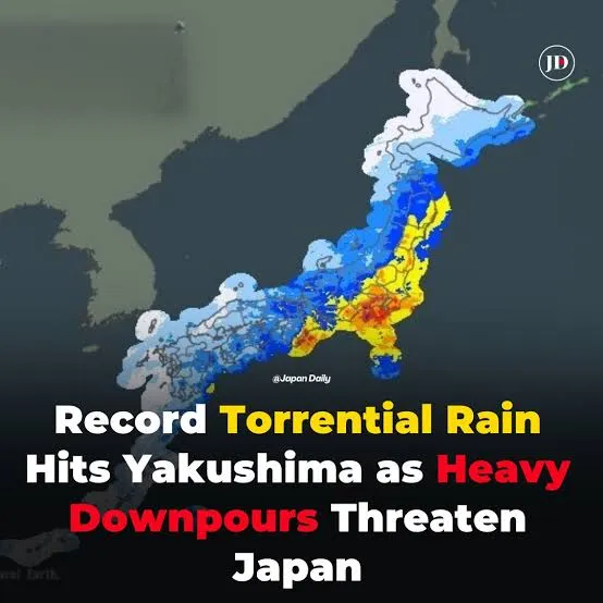
Widespread heavy rain expected across Japan
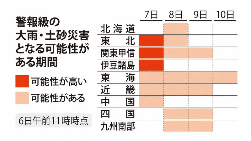
Japan’s Meteorological Agency has urged residents from the Tohoku region in the northeast to Shikoku in the west to remain alert as a slow-moving weather system threatens to bring intense and prolonged rainfall through the 10th. Rain was already falling in parts of eastern and western Japan on the morning of the 8th, particularly along the Pacific side, where a seasonal front was extending across the country.
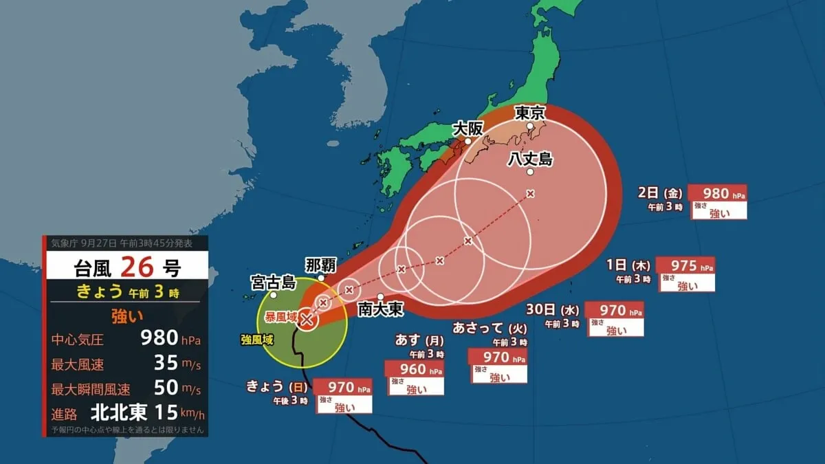
The front is expected to remain almost stationary until the 10th. In addition, a tropical depression that developed from Typhoon No. 24 is forecast to become a low-pressure system along the front over western Japan on the 9th. This combination could strengthen rainfall and increase the risk of flooding, landslides and other weather-related damage.
Linear rain bands pose a particular threat
The agency has issued forecast information for possible “linear rain bands” in the Tokai and Shikoku regions. These narrow bands of thunderstorms can repeatedly pass over the same area, producing extremely heavy rain in a short period. Such conditions are especially dangerous in mountainous communities, river basins and low-lying urban districts.
The period during which linear rain bands may develop varies by prefecture. In Mie, the risk is forecast from the afternoon of the 8th through the morning of the 9th. Shizuoka, Aichi and Gifu could see the threat from the evening of the 8th until the morning of the 9th. In Kochi, the possible period extends from the evening of the 8th through late morning on the 9th, while Tokushima faces a potential risk from late night on the 8th through late morning on the 9th.
Exceptional rainfall recorded in the Izu Islands
Authorities have also been closely monitoring the Izu Islands south of Tokyo. The special landslide disaster warning issued for Oshima Town on Izu Oshima, Toshima Village and Niijima Village was changed at 4 a.m. on the 8th to a Level 4 warning indicating dangerous conditions.
Rainfall totals over the preceding 72 hours reached 768.5 millimeters on Izu Oshima, 523.5 millimeters on Toshima and 587.0 millimeters on Niijima, according to measurements taken early on the 8th. The totals underline the risk posed by saturated ground, even if rainfall temporarily weakens.
Forecast rainfall and safety advice
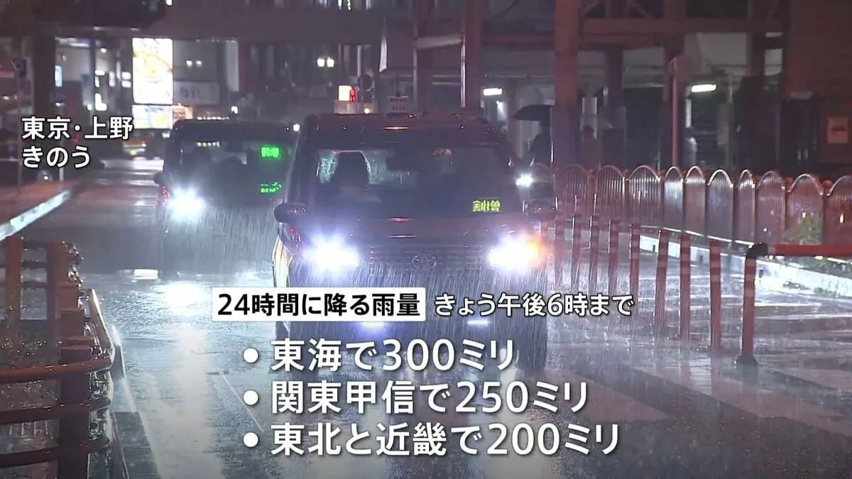
By 6 a.m. on the 9th, the maximum 24-hour rainfall totals are forecast to reach 200 millimeters in Tokai and Shikoku, 180 millimeters in Kinki, and 120 millimeters in Kanto-Koshin and Hokuriku. Up to 80 millimeters is expected in Tohoku.
During the following 24-hour period through the morning of the 10th, Tokai, Kinki and Shikoku could receive as much as 150 millimeters, while Kanto-Koshin may see 120 millimeters and Hokuriku 100 millimeters. Further rainfall is expected through the morning of the 11th, with totals of up to 100 millimeters in Tokai and Kinki and 80 millimeters in Kanto-Koshin.
The Meteorological Agency is advising people to monitor official weather updates, evacuation information and local government instructions. Residents should avoid rivers, steep slopes and coastal areas, and should move to safer locations before conditions deteriorate. In Japan’s alert system, Level 4 indicates that people in areas at risk should evacuate, while those who cannot safely leave should move to a secure place inside a sturdy building. People should also remain alert for lightning, tornado-like gusts and sudden changes in rainfall intensity.