Authorities urge caution through around July 10
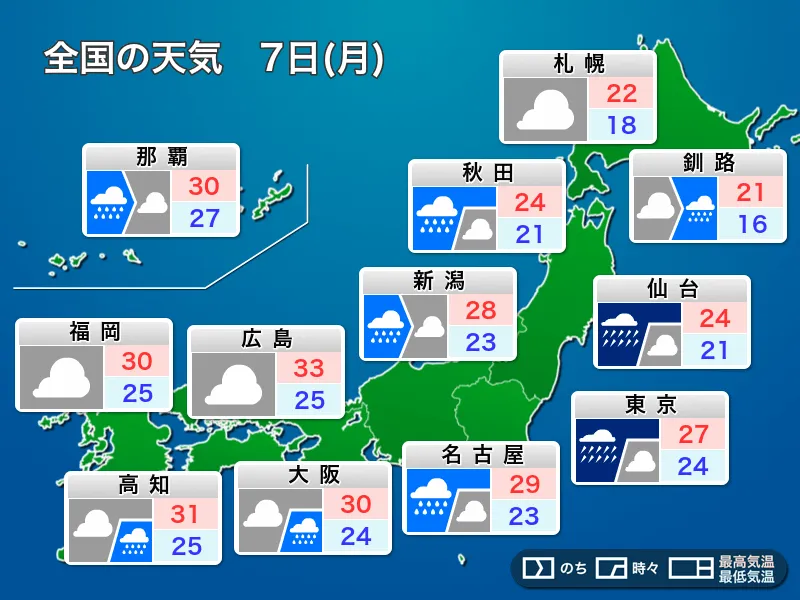
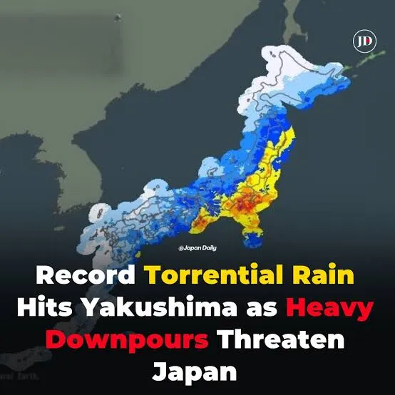
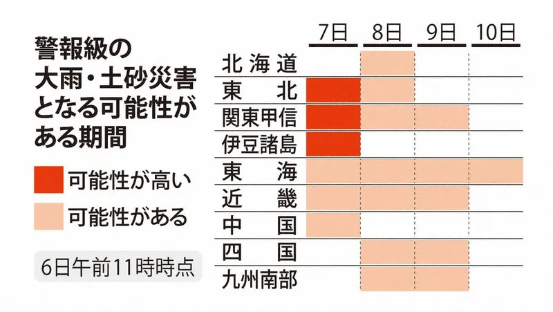
Japan’s Meteorological Agency is warning of potentially hazardous weather across a wide area of the country, with heavy rain expected from northern Japan to the Pacific side of western Japan through July 7. The agency says there is a risk that linear rain bands, known in Japan as senjo kosentai, could form across 13 prefectures in the Tohoku, Kanto-Koshin and Tokai regions.
These narrow but powerful bands of thunderstorms can remain over the same location for several hours, producing exceptional rainfall in a short period. Such conditions can rapidly increase the threat of landslides, flooding in low-lying areas and swollen rivers. Authorities are urging residents to monitor official forecasts and evacuation information rather than waiting until travel becomes difficult or dangerous.
Typhoon’s influence continues as storm weakens
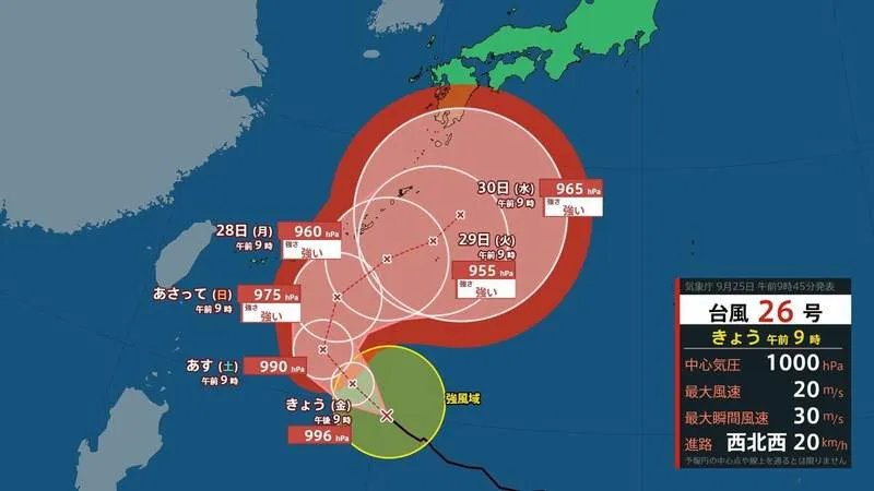
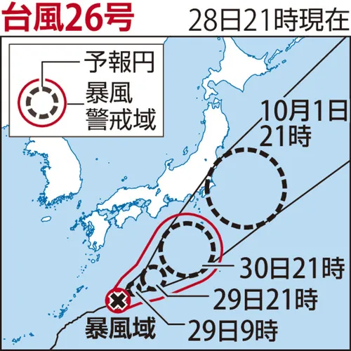
Typhoon No. 24, currently lingering near Okinawa Prefecture, is expected to weaken into a tropical depression by 3 p.m. on July 7, according to the Meteorological Agency. However, the storm’s weakening does not mean the immediate danger has passed. Moist air drawn northward from the typhoon is feeding into a seasonal weather front, strengthening its activity and making the atmosphere increasingly unstable.
This combination of a moisture-rich tropical system and an active front is a familiar but serious weather pattern in Japan. Even after a typhoon loses its official status, it can continue to deliver large amounts of moisture and influence rainfall across distant regions. The agency is therefore maintaining its warnings for eastern and western Japan through around July 10.
13 prefectures face risk of linear rain bands
By July 7, linear rain bands could develop in Tokyo, including the Izu Islands, as well as Iwate, Miyagi, Fukushima, Ibaraki, Tochigi, Gunma, Saitama, Kanagawa, Chiba, Shizuoka, Aichi and Mie prefectures. The affected areas include major population centers around Tokyo and Nagoya, along with coastal and mountainous communities that can be vulnerable to sudden flooding and landslides.
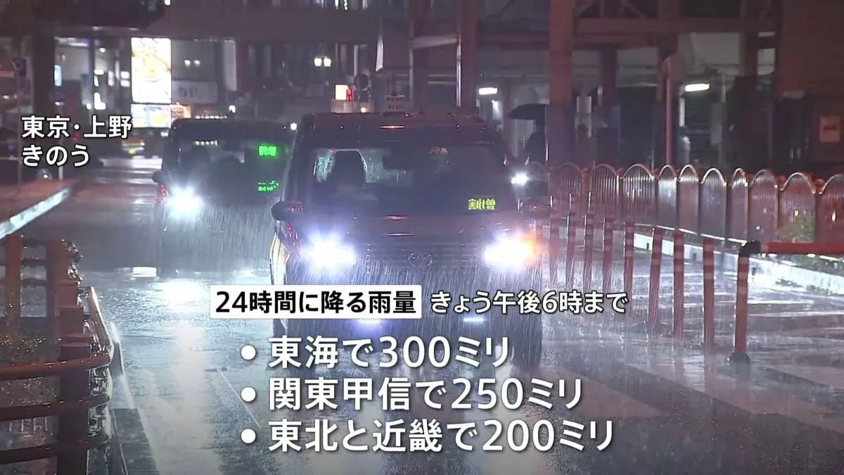
Forecast rainfall during the 24 hours ending at 6 p.m. on July 7 is expected to reach up to 300 millimeters in parts of the Tokai region, 250 millimeters in Kanto-Koshin, 200 millimeters in Tohoku and Kinki, and 100 millimeters in southern Kyushu. During the following 24-hour period, further totals of up to 200 millimeters are forecast in Tokai, 120 millimeters in Kinki and 80 millimeters in Kanto-Koshin.
Advice for residents and visitors
People in affected areas should check the Japan Meteorological Agency’s latest warnings, local government hazard maps and evacuation guidance. Residents near steep slopes, rivers or drainage channels should take warnings seriously, particularly at night when visibility is poor and rising water can be difficult to judge. Moving to a safer location before an evacuation order is issued is generally safer than attempting to leave during the peak of a storm.
Foreign residents and visitors should also keep smartphones charged, confirm the location of nearby evacuation shelters and follow announcements from municipal authorities. Rail services, flights and road conditions may change quickly during periods of intense rain. Japan’s detailed disaster information systems provide frequent updates, but travelers should remain flexible and avoid unnecessary journeys in areas under heavy-rain warnings.