Typhoon No. 26 expected to approach Okinawa
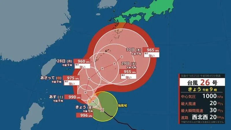
Typhoon No. 26 is forecast to strengthen as it moves north from the waters east of the Philippines, with the storm expected to approach Japan’s Okinawa region from around September 27 to 29. According to the latest forecast information available on September 25, the typhoon was moving westward over the Philippine Sea and was expected to gradually turn toward the north.
The storm is projected to reach Okinawa with “strong” intensity, bringing the possibility of dangerous winds, high waves and storm surges. The Miyakojima region may experience highly disruptive weather from around September 27 to 28, while the main Okinawa Island region could face severe conditions from approximately September 27 to 29. Residents and visitors should closely monitor official warnings, particularly if they are planning flights, ferry journeys or outdoor activities.
Forecast track and intensity
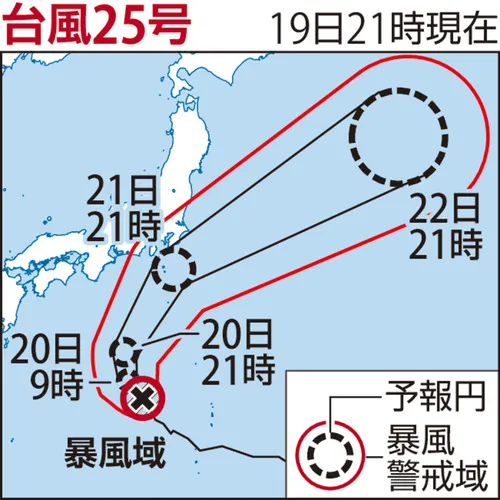
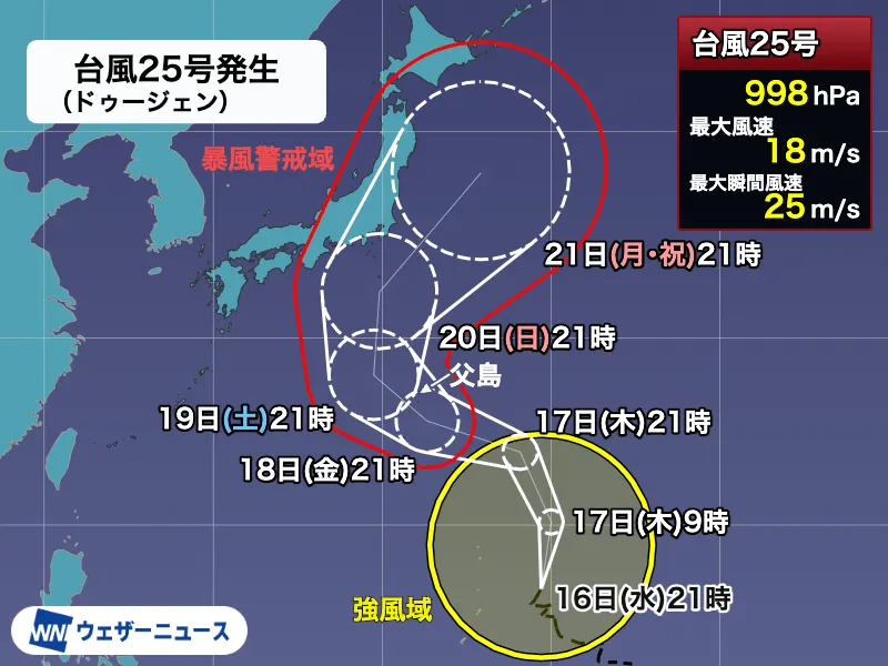
The forecast indicates that the typhoon may move north toward the southern waters of Okinawa on September 26, with a central pressure of about 990 hectopascals and maximum gusts of approximately 40 meters per second. On September 27, it is expected to develop into a strong typhoon south of Okinawa, potentially reaching a central pressure of 975 hectopascals and maximum gusts of 50 meters per second.
The storm could continue moving slowly north on September 28, with its central pressure falling to around 960 hectopascals and maximum gusts reaching 60 meters per second. By September 29, the system may begin turning eastward over the waters south of Japan, while maintaining a central pressure of approximately 955 hectopascals and maximum gusts of up to 60 meters per second. On September 30, it is forecast to remain strong and move slowly over the southern seas of Japan.
Heavy rain threat from the autumn rain front
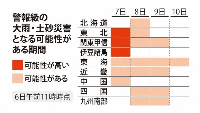
The typhoon’s effects may extend well beyond Okinawa. An autumn rain front is expected to remain near the Japanese archipelago, and the typhoon’s movement could draw additional warm, moisture-rich air toward the front. This interaction may cause the front to become more active and produce periods of intense rainfall.
Depending on the precise track, the Pacific-facing areas of Kyushu, Shikoku, the Tokai region and Kanto could be particularly vulnerable to heavy rain during the following week. These areas include major population centers such as Tokyo and Yokohama, as well as important transport routes and coastal communities. Even if the typhoon’s center remains offshore, its moisture and broad wind circulation could still influence weather across Japan.
What residents and travelers should know
Japan’s typhoon season commonly overlaps with the autumn rain-front season, creating a heightened risk of flooding, landslides and transport disruptions. Forecast tracks several days in advance can change significantly, especially when a storm is expected to turn. Travelers should check updates from the Japan Meteorological Agency, local governments, airlines and railway operators before setting out.
People in vulnerable areas should review evacuation routes, secure outdoor objects and prepare drinking water, food, mobile batteries and essential medicines. Foreign residents and visitors can use Japan’s official disaster information services, local multilingual alerts and emergency number 119 for urgent assistance. The rainfall and wind outlook for September 26 through October 5 will continue to be updated as the typhoon develops, making regular checks especially important.