Okinawa braces for dangerous conditions
Typhoon No. 26 approached Okinawa’s main island on the 27th, bringing stronger winds and heavier rain as the Japan Meteorological Agency urged residents to remain alert for high waves, powerful winds and flooding. The storm strengthened to a “very strong” typhoon during the afternoon while moving northeast over the waters south of Okinawa.
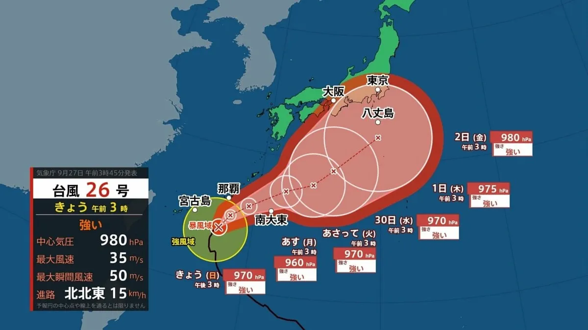
At 4 p.m. on the 27th, the typhoon was located approximately 100 kilometers southeast of Naha, the capital of Okinawa Prefecture. It was moving northeast at around 15 kilometers per hour, with a central atmospheric pressure of 960 hectopascals. The system had maximum sustained winds of 45 meters per second and maximum instantaneous winds of 60 meters per second.
The storm’s strongest winds extended across a wide area. Within a radius of approximately 85 kilometers from its center, winds of at least 25 meters per second were expected, while winds of at least 15 meters per second were possible within about 220 kilometers. These conditions can make travel hazardous, damage infrastructure and create dangerous conditions along coastlines and at sea.
Strong gusts recorded in southern Okinawa
Okinawa experienced increasingly severe weather as the typhoon drew closer. In Itokazu, within Nanjo City on Okinawa’s main island, a maximum instantaneous wind speed of 22.9 meters per second was recorded at 3:50 p.m. The Japan Meteorological Agency warned that high waves would remain a major concern through the 28th, while also advising caution over strong winds and heavy rainfall.
For residents and visitors, official guidance remains especially important during a typhoon. People are advised to avoid coastal areas, beaches, rivers and low-lying locations, and to check evacuation information issued by local municipalities. Ferry services, flights and other transportation may also be disrupted, particularly across Okinawa’s island network. Travelers should confirm updates directly with airlines, ferry operators and local authorities before setting out.
Possible effects farther north
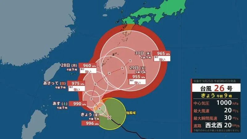
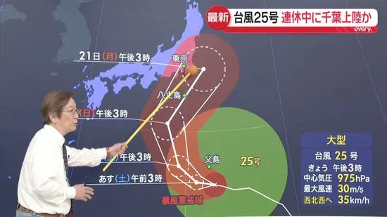
Forecasts indicated that Typhoon No. 26 was expected to move northeast from the southeastern seas near Okinawa and Amami between the 28th and October 1, before continuing over the southern seas near western and eastern Japan. If the storm’s track shifts farther north, it could approach the Kanto region, including the Tokyo area, from the night of the 30th into October 1.
Small changes in a typhoon’s path can significantly affect rainfall, wind strength and the timing of impacts. Authorities and residents across Japan therefore typically monitor updated forecasts closely rather than relying on a single projected track. The storm’s eventual influence on mainland Japan will depend on its movement, intensity and interaction with surrounding weather systems.
Heavy rain also affects northern Kyushu
Separately, a weather front caused heavy rain in parts of northern Kyushu on the 27th. In Omuta, Fukuoka Prefecture, rainfall reached 250 millimeters over the 12 hours ending at noon. The Japan Meteorological Agency warned of possible landslides, highlighting the risk that saturated ground can pose even away from the typhoon’s center.
Japan’s detailed disaster-warning system and local evacuation networks are designed to help communities respond to rapidly changing weather. As Typhoon No. 26 continues across the region, authorities are urging the public to stay informed, prepare early and take precautions before conditions become more dangerous.