Japan watches another potentially disruptive storm
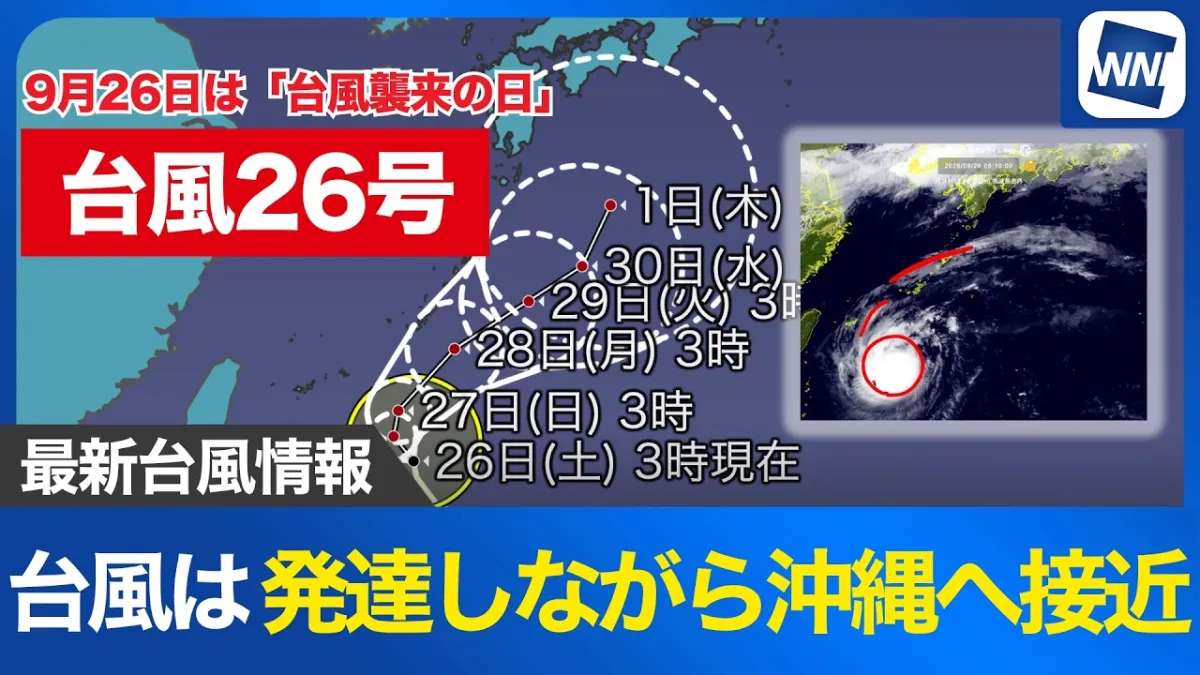
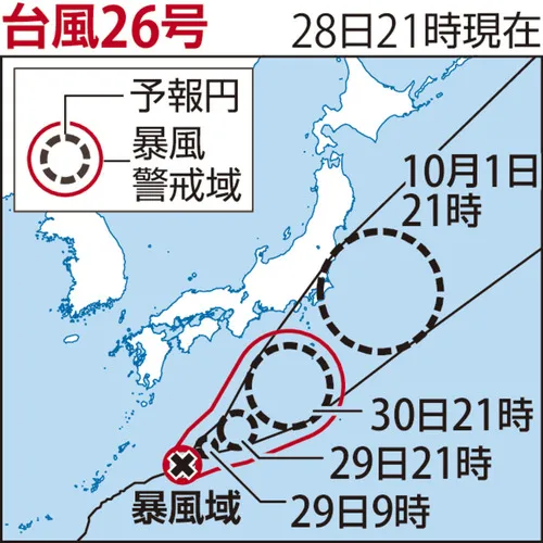
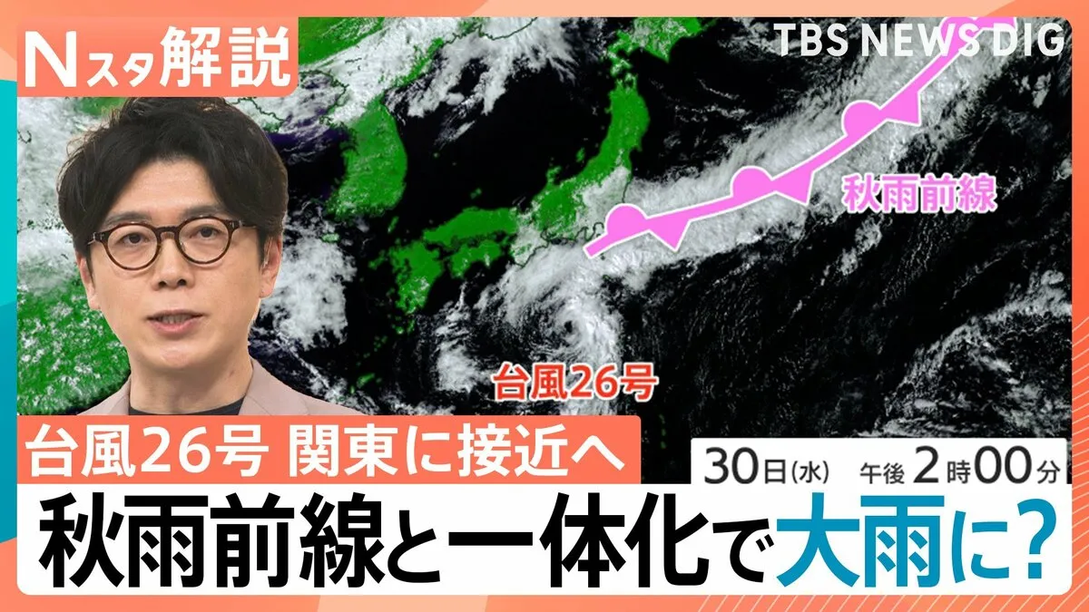
Japan’s Kanto region is being urged to prepare for renewed heavy rain as Typhoon No. 26 approaches the country around October 1. The storm is expected to come closest to Hachijojima in the Izu Islands before moving toward the Pacific, but its interaction with a broad autumn rain front could expand the area affected by rain and strong winds.
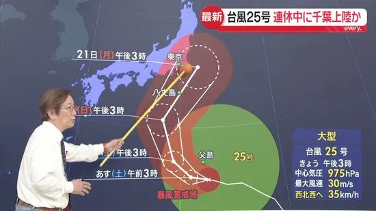
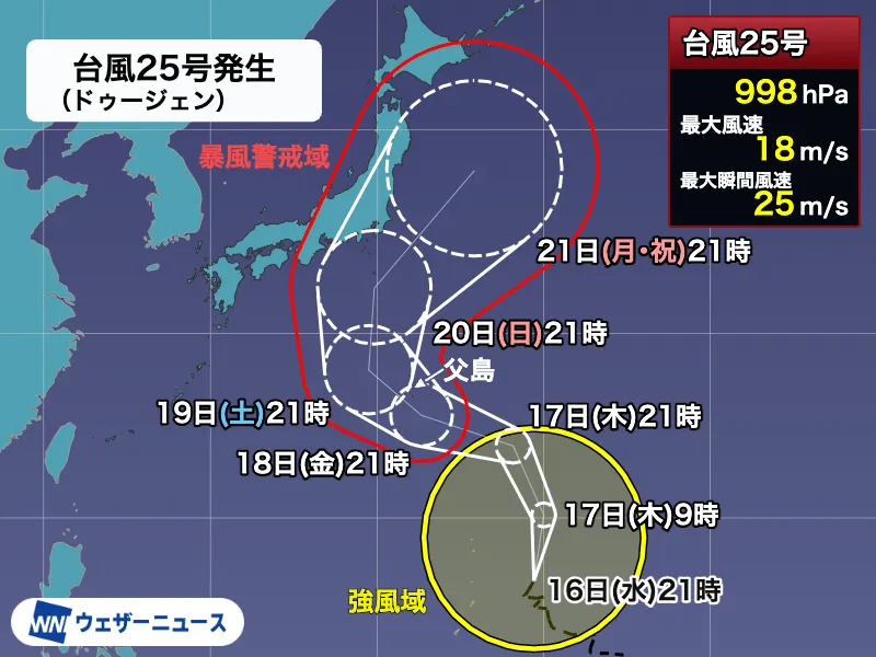
The threat is particularly serious for Chiba Prefecture, where communities are still dealing with damage from Typhoon No. 25. Ground conditions remain vulnerable after repeated rainfall, raising the possibility that even moderate additional rain could trigger flooding, landslides and renewed disruption to transport and daily life.
Compact storm could bring a sudden change in conditions
According to the weather forecast discussed in the report, Typhoon No. 26 had weakened considerably, with a central pressure of approximately 1,000 hectopascals. However, its relatively small and compact structure means conditions could deteriorate quickly as the storm approaches. Rain and winds may strengthen with little warning, especially across the Izu Islands.
Rain bands associated with the typhoon were expected to reach the area around Hachijojima from the night of September 30. The peak of the rain and wind was forecast from overnight into the morning of October 1. Some parts of the Izu Islands could receive around 120 millimeters of rain over a 24-hour period, making careful monitoring of official warnings essential.
Typhoon and autumn front may combine
The storm itself is not the only concern. A long band of clouds linked to Japan’s autumn rain front is extending across the region. Forecasters warned that Typhoon No. 26 could strengthen or reorganize this frontal system, with the two areas of rain eventually merging as the storm transitions into an extratropical low-pressure system.
By the morning of October 1, the combined rain areas were expected to pass near the coastal areas of Chiba Prefecture. If the system shifted farther north than forecast, a wider part of Chiba and surrounding areas could receive significant rain. The rain was expected to gradually move eastward during the afternoon, with improving weather likely by the evening.
Extra caution urged in already damaged areas
Authorities and residents in areas around Lake Inbanuma in Narita and in Ichihara were advised not to underestimate the risk. These locations had already experienced substantial rainfall and damage from the previous typhoon. Saturated soil can become unstable even when new rainfall amounts do not appear exceptional, increasing the danger of landslides and localized flooding.
For residents, visitors and foreign nationals in Japan, practical precautions include checking the Japan Meteorological Agency website, local government alerts and railway updates. People in low-lying areas should confirm evacuation routes and avoid rivers, drainage channels and steep slopes during periods of intense rain. Emergency information is often issued through municipal apps, public address systems and disaster-prevention websites, with many local authorities providing English and other language support.
Another tropical system may affect Japan next week
After Typhoon No. 26 moves away, clearer conditions were expected to return across much of Japan, including Tokyo through around October 4. Rain may return in some areas on October 5 and 6 as typical autumn weather patterns develop. However, forecasters also warned that a new tropical depression could strengthen into another typhoon and potentially influence Japan from the middle to the latter part of the following week.
The forecast remains subject to change, particularly because tropical systems can shift direction and intensity. Japan’s weather authorities are therefore encouraging the public to continue checking updated forecasts rather than relying on a single prediction.