Heavy rain and possible disasters across eastern Japan
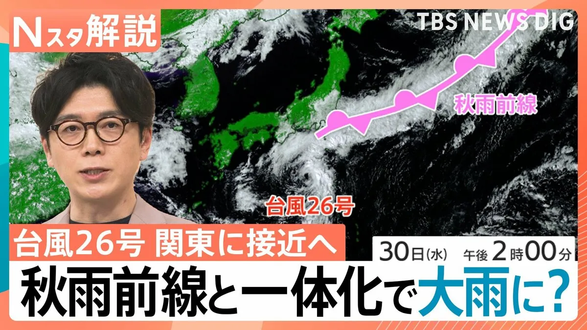
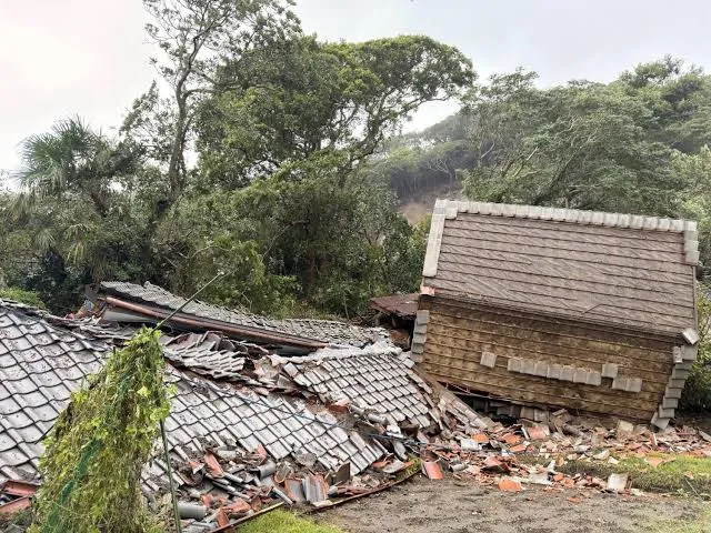
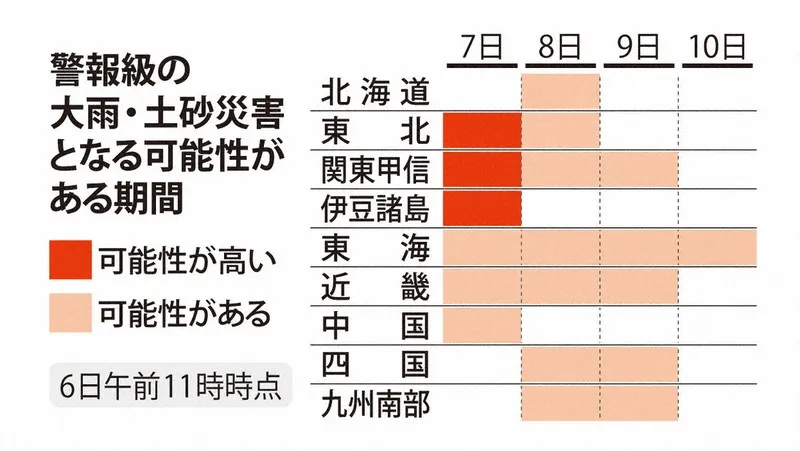
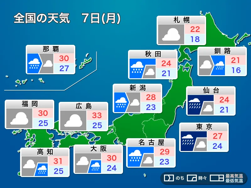
Japan is preparing for a potentially hazardous weather pattern on Monday, September 7, as an autumn rain front moves northward and a low-pressure system develops along it. The forecast calls for periods of intense rain across the Kanto and Tokai regions, as well as the Pacific-facing areas of Tohoku. Authorities and residents are being urged to remain highly alert to the possibility of flooding, landslides and other rain-related disasters.
The areas most at risk include major population centers such as Tokyo, Yokohama, Nagoya and surrounding communities. These regions are densely populated and have extensive transport networks, meaning that even a relatively short period of very heavy rain can cause flooding on roads, delays to trains and disruptions at airports. People living in or visiting low-lying areas, locations near rivers and communities beneath steep slopes should monitor official warnings closely.
Non-essential travel should be avoided
With the front and low-pressure system expected to remain nearby, rainfall could become intense at times in Kanto, Tokai and the Pacific side of Tohoku. The possibility of weather-related disasters means that people should avoid going outdoors during the worst conditions whenever possible. Safety should take priority over commuting, sightseeing or other non-essential activities.
Travelers in Japan should check updates from the Japan Meteorological Agency, local government offices and transport operators before leaving their accommodation. Train services may be delayed or suspended, while road traffic could be affected by flooding, poor visibility and fallen debris. Visitors staying in hotels or short-term rentals should also ask staff about evacuation locations and follow local instructions promptly if an alert is issued.
Rain also expected in western Japan
Western Japan is not expected to escape the unsettled weather. Rain will be most likely along the Pacific side, where it may become temporarily heavy. People heading out should carry an umbrella and allow extra time for travel. Areas along the Sea of Japan coast may see mostly cloudy skies, but scattered showers remain possible, so conditions could change quickly.
Strong rain and wind possible in Okinawa
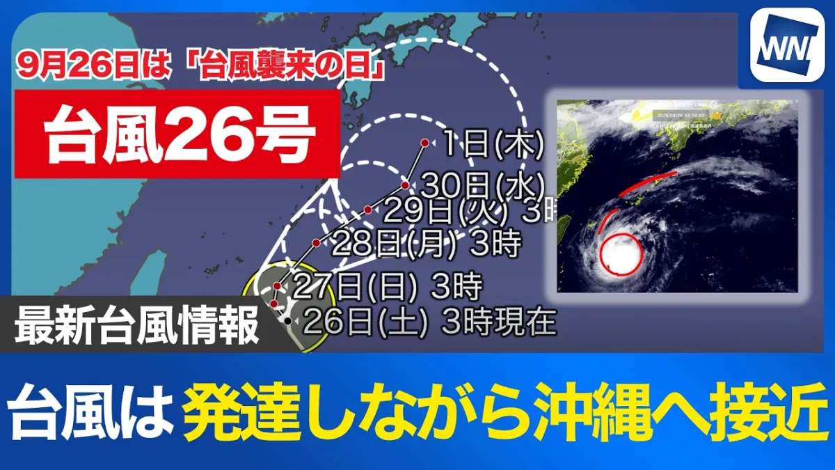
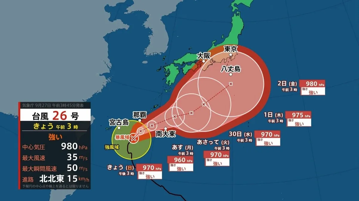
Okinawa will also need to remain cautious as it lies near Typhoon No. 24, according to the forecast information. Periods of rain, strong winds and sudden bursts of heavy rainfall are expected. Wind-driven rain may reduce visibility and make walking or driving difficult, while rough seas are likely to continue along the coast.
Residents and visitors in Okinawa should avoid exposed coastal areas, beaches and breakwaters during periods of strong wind or high waves. Marine activities may be affected, and ferry services could face disruption depending on local conditions.
How to prepare
Japan’s autumn rain fronts can produce prolonged rainfall over wide areas, increasing the risk of flooding and landslides even outside the heaviest-rain zones. People should secure outdoor items, charge mobile phones, prepare drinking water and essential medicines, and keep emergency alerts enabled. Never attempt to cross a flooded road or approach a swollen river, and move to a safer location before conditions deteriorate if evacuation information is issued.
The forecast may change as the front and low-pressure system develop. Staying informed through official Japanese weather and disaster-prevention services is the most reliable way to respond. For Monday, the central message is clear: prepare early, limit unnecessary travel and make personal safety the top priority.