Three typhoons now active in the western Pacific
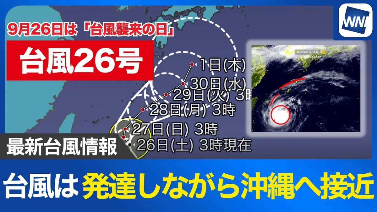
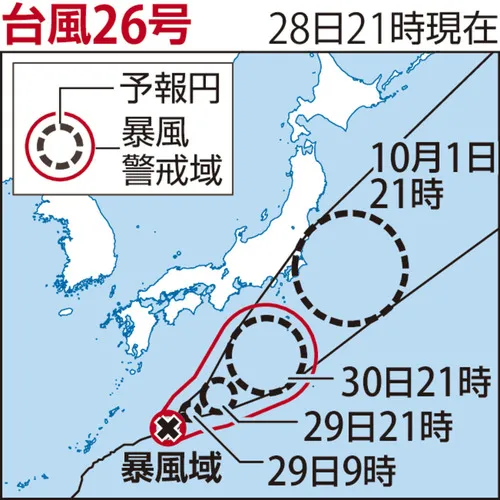
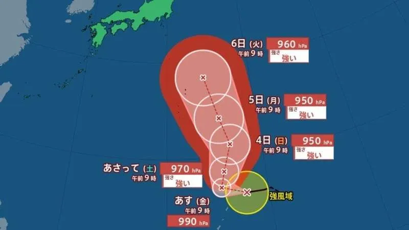
Japan’s Meteorological Agency is monitoring an unusual weather pattern after two new typhoons formed, bringing the total number of simultaneous typhoons in the region to three. Typhoon No. 29 developed at 9 a.m., while Typhoon No. 28 was designated after Hurricane Noru crossed the International Date Line and entered the area monitored by Japan’s weather authorities.
The development of a so-called “triple typhoon” situation has attracted attention because three tropical cyclones existing on the same day in October is a relatively uncommon event. According to the report, the last time October saw three typhoons simultaneously was five years ago. The formation of a typhoon that crosses into the western Pacific monitoring zone from beyond the International Date Line is also notable. The previous such “crossover typhoon” occurred in 2023, when Typhoon No. 8 was recorded.
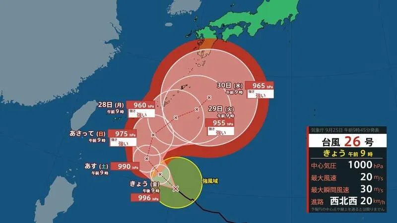
Projected paths remain a focus for Japan
Typhoon No. 28 and Typhoon No. 29 are currently expected to move generally westward for the time being. While the latest forecasts do not necessarily indicate that either system will make landfall in Japan, their movement could still affect the country through higher waves, stronger winds and rougher marine conditions.
For Japan, these effects can be significant even when a storm remains offshore. Coastal communities, fishing operations, ferry services and shipping routes may face hazardous conditions as tropical systems approach. Heavy swells can also reach beaches and ports before the center of a typhoon comes near, creating risks for swimmers, surfers and people visiting coastal areas.
Why typhoon forecasts can change
Typhoon paths and strength can shift as weather systems interact across the Pacific. Forecast models are updated as new observations become available from satellites, aircraft and ocean monitoring stations. The position of surrounding high-pressure systems, sea-surface temperatures and the movement of nearby tropical disturbances can all influence a storm’s direction.
Japan’s Meteorological Agency regularly updates information on tropical cyclones, including forecast tracks, wind speeds, pressure readings and expected impacts. Residents and visitors should rely on official announcements, particularly if they are planning travel by air, rail or ferry. Those staying in coastal or mountainous areas should also check local government alerts, as strong winds and waves may occur before any direct impact is confirmed.
Continued monitoring advised
The current situation remains a reminder that Japan’s typhoon season can produce rapidly changing conditions well into autumn. Authorities are urging the public to follow the latest forecasts rather than making decisions based only on an early projected path. Although the immediate impact on the Japanese mainland remains uncertain, careful monitoring will be important as Typhoons No. 28 and No. 29 continue westward.