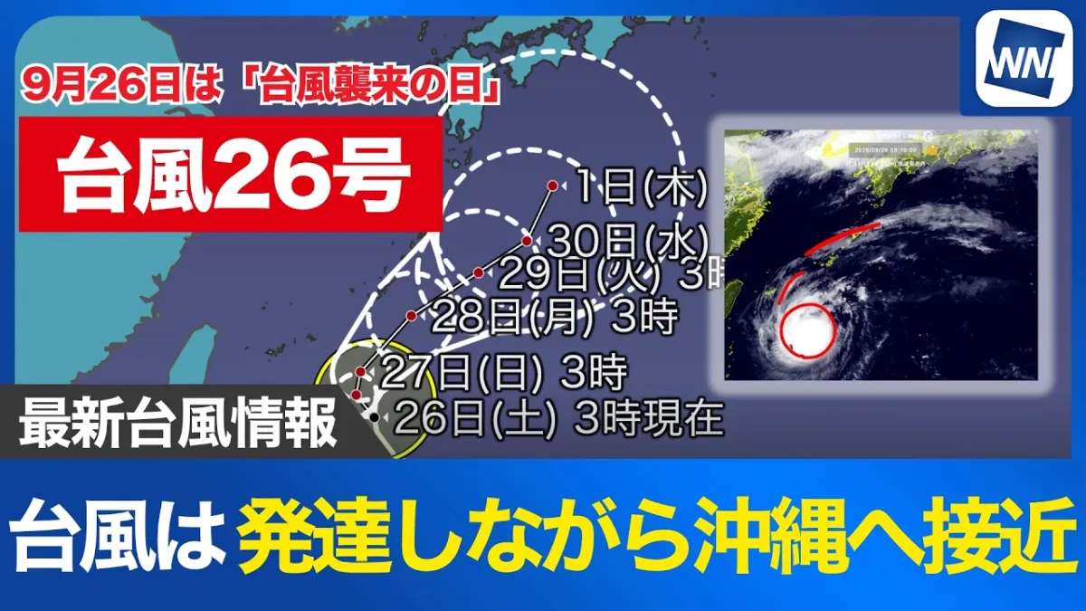
Typhoon No. 27 develops in the western Pacific
Typhoon No. 27, named Choi-wan, formed near the Mariana Islands early on October 1, according to an announcement issued by Japan’s Meteorological Agency at 10:05 a.m. Japan Standard Time. The storm developed from a tropical depression at around 3 a.m. and was moving west at approximately 25 kilometers per hour as of 9 a.m.
At that time, the typhoon had a central pressure of 998 hectopascals, maximum sustained winds of 18 meters per second near its center and maximum instantaneous gusts of 25 meters per second. Winds of at least 15 meters per second extended up to approximately 220 kilometers from the center across the entire storm area.
Forecast points toward the Ogasawara Islands
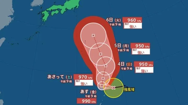
The Japan Meteorological Agency expects the system to gradually change direction and strengthen over the coming days. By the morning of October 2, the typhoon is forecast to move west-northwest at about 10 kilometers per hour, with its central pressure falling to 990 hectopascals and its maximum wind speed increasing to 25 meters per second.
On October 3, Choi-wan is expected to become a strong typhoon while moving slowly northward near the Mariana Islands. Forecasts indicate a central pressure of approximately 970 hectopascals, maximum sustained winds of 35 meters per second and maximum instantaneous gusts of 50 meters per second. A storm-warning area extending roughly 230 kilometers around the system is also projected at that stage.
The storm is forecast to approach the waters near the Ogasawara Islands on October 4. At 9 a.m. that day, the projected center is near 21.2 degrees north latitude and 146.7 degrees east longitude. The typhoon could have a central pressure of 950 hectopascals, maximum sustained winds of 40 meters per second and maximum instantaneous gusts of 60 meters per second. The projected storm-warning area would extend approximately 350 kilometers from the center.
Continued monitoring remains important
Choi-wan is expected to remain near the Ogasawara Islands on October 5 before moving north-northwest on October 6. The forecast still shows a powerful system, with maximum instantaneous gusts of up to 60 meters per second on October 5 and 55 meters per second on October 6. The forecast circle expands with time, reaching a radius of 330 kilometers on October 6, reflecting increasing uncertainty over the storm’s precise track.
The Ogasawara Islands, also known as the Bonin Islands, are a remote Japanese island chain located far south of Tokyo. Because the islands are isolated and exposed to the open Pacific, strong winds, high waves and heavy rain can create significant challenges for residents, transport services and shipping operations. Ferry and air connections may be affected if conditions deteriorate.
For people elsewhere in Japan, the current forecast does not confirm a direct impact on the main islands or Tokyo. However, tropical systems in the western Pacific can influence ocean conditions, rainfall patterns and coastal weather even when the storm center remains offshore. Residents, travelers and foreign visitors should check the latest updates from the Japan Meteorological Agency, local authorities and transport operators rather than relying on a single forecast.
Typhoon tracks and intensity can change considerably as atmospheric conditions develop. The latest information should be used for decisions about travel, outdoor activities and maritime operations, particularly in the Ogasawara region and other Pacific-facing areas.