Japan is seeing more intense rainfall
Japan’s long-term weather observations show a clear increase in short-duration, extremely heavy rainfall, according to Masahiro Watanabe, a professor at the University of Tokyo’s Atmosphere and Ocean Research Institute. Looking ahead, climate projections indicate that extreme rainfall events are likely to become even more frequent as global temperatures rise.
The findings underline an important point about climate change: global warming does not create every extreme weather event from nothing. Heavy rain, heatwaves and droughts have always occurred as part of natural climate variability. However, warming changes the likelihood, intensity and patterns of these events, making some extremes more common and more severe.
Why a small rise in average temperature matters
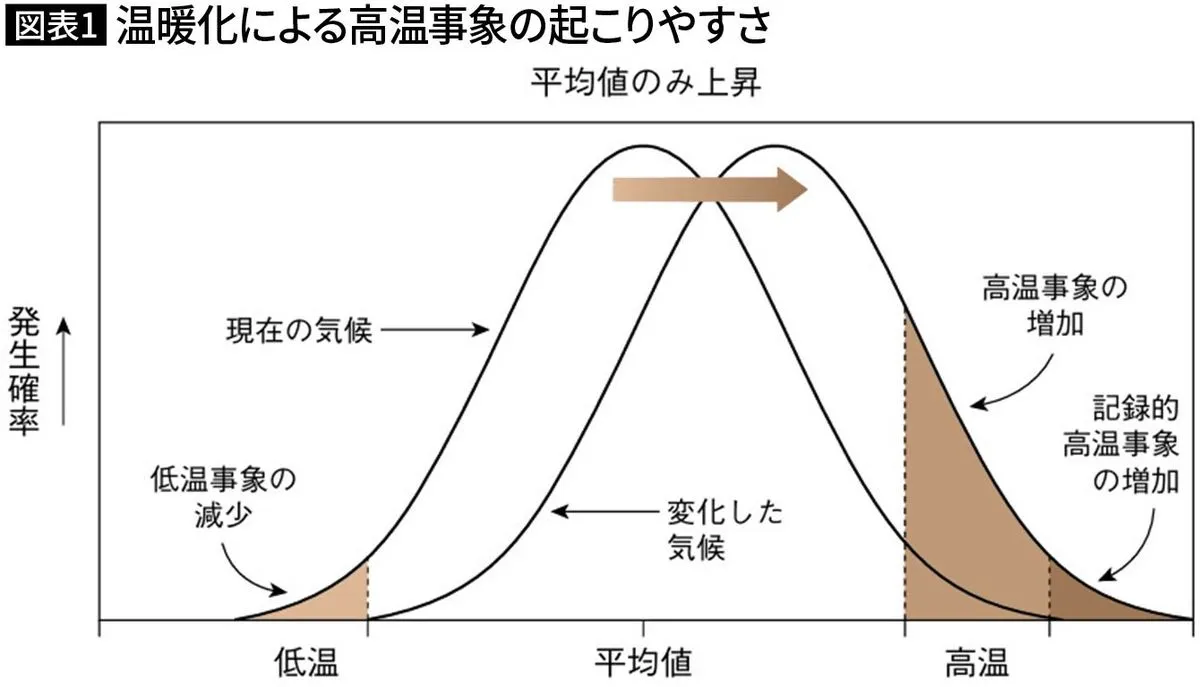
Weather conditions naturally fluctuate around an average. Some days are cooler or hotter than usual, while occasional rainfall events can become exceptionally intense. When the average temperature rises, the entire range of possible temperatures shifts toward the hotter side. As a result, extreme heat at the upper end of the distribution can increase much more sharply than the average temperature itself.
Japan’s observations already reflect this trend. Across 13 locations considered relatively less affected by urbanization, the annual number of days with maximum temperatures of at least 35 degrees Celsius increased by approximately 2.9 days per century between 1910 and 2025. This long-term pattern suggests that Japan’s recent summers are not simply a matter of perception or short-term natural variation.
Projections published in Japan’s Climate Change 2025 by Japan’s Ministry of Education, Culture, Sports, Science and Technology and the Japan Meteorological Agency estimate that, by the end of the 21st century, Japan could experience an average increase of 2.9 extremely hot days under a 2-degree warming scenario. Under a 4-degree scenario, the increase could reach 17.5 days. Tropical nights are projected to rise by 8.2 days and 38 days, respectively.
“Rain like a waterfall” is becoming more common
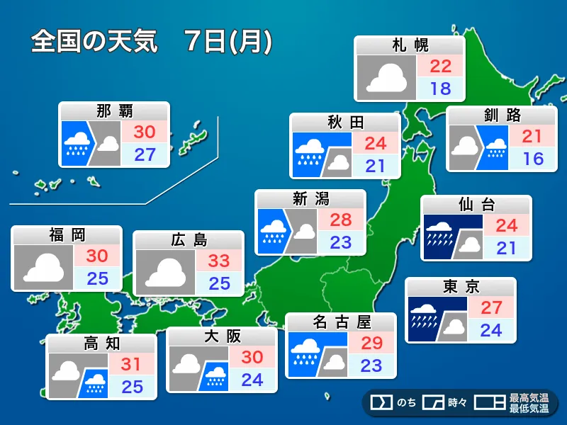
Warmer air can hold more water vapor. When weather systems trigger rainfall, that additional moisture can contribute to heavier precipitation over a shorter period. Japan’s rain is influenced by seasonal fronts, typhoons, low-pressure systems and other atmospheric conditions. Global warming does not independently create each of these systems, but it can intensify rainfall when the necessary conditions come together.
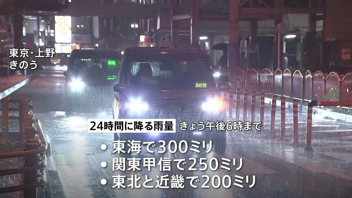
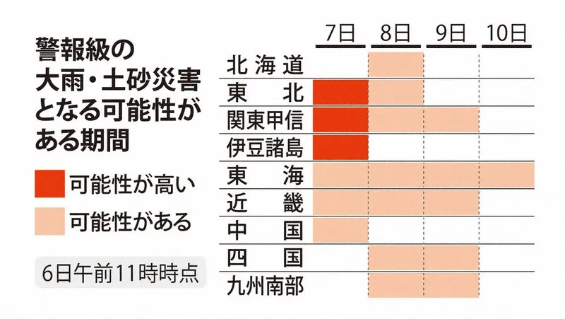
This is particularly important when warm, humid air continues flowing into the same area. In such circumstances, lines of powerful rain clouds can form, including Japan’s well-known linear rainbands, or senjo kosentai. These systems can produce concentrated downpours that overwhelm rivers, drainage infrastructure and hillsides.
Data from Japan’s AMeDAS observation network shows that rainfall of at least 50 millimeters in one hour increased from an average of about 226 occurrences per year during 1976–1985 to approximately 350 per year during 2016–2025. That represents an increase of about 1.5 times. A rainfall rate of 50 millimeters per hour is often described as rain falling with the force and appearance of a waterfall.
More extreme rain projected in the future
Climate projections suggest that this trend could accelerate. By the end of the century, the annual number of events with hourly rainfall of at least 50 millimeters is estimated to reach about 1.8 times the late-20th-century level under a 2-degree warming scenario, and about three times the level under a 4-degree scenario.
The projected change concerns not only how often extreme rainfall occurs, but also how much rain can fall during the wettest day of the year. Annual maximum daily precipitation is estimated to increase by approximately 12 percent under the 2-degree scenario and 27 percent under the 4-degree scenario.
These figures do not mean that Japan’s annual rainfall will increase evenly everywhere. Instead, rainfall patterns may become more uneven: longer or more frequent dry periods may be interrupted by heavier downpours. Warmer conditions can strengthen the water cycle, increasing intense rainfall in some areas while worsening water shortages and drought risk in others.
Typhoon risks require a broader view
The influence of climate change on typhoons is more complicated than the trend in extreme rainfall. Typhoon numbers, tracks and landfalls vary considerably from year to year, and historical observations become less consistent the further back they go. Researchers therefore distinguish between the number of storms, their intensity, the rainfall they produce, their tracks and their movement speed.
Warmer seas can provide more heat and moisture to developing tropical cyclones, while increased atmospheric moisture can raise the amount of rainfall associated with a storm. Current research generally suggests that the global number of tropical cyclones may decrease or remain broadly similar, while the proportion of stronger storms and the rainfall produced by individual systems may increase. Around Japan, the risks may be amplified if a storm moves slowly and continues affecting the same region for an extended period.
Disaster risk depends on preparedness as well as weather
Extreme weather becomes a disaster through the interaction of atmospheric conditions with geography, infrastructure and human preparedness. Japan’s mountainous terrain, densely populated cities and low-lying coastal areas can all face different risks. River management, flood-control facilities, drainage systems, evacuation information and household preparations influence the eventual impact.
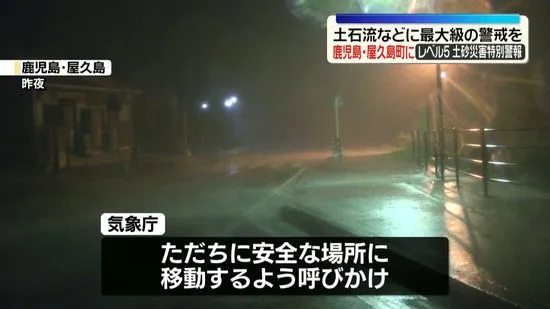
During the heavy rains from late June through July 2023, active seasonal fronts brought severe rainfall across broad areas of western and eastern Japan. Linear rainbands developed in parts of Kyushu and the Chugoku region, and special emergency warnings were issued in Fukuoka and Oita prefectures. Authorities reported 13 deaths, one person missing, 14 injuries and damage to more than 3,000 homes. Research indicated that warming had increased the total rainfall during the event.
For residents, visitors and foreign nationals living in Japan, the practical message is clear: monitor Japan Meteorological Agency alerts, understand local hazard maps and take evacuation guidance seriously. As Professor Watanabe’s analysis emphasizes, Japan’s climate is not simply becoming “wetter” or “hotter.” The timing, concentration and intensity of weather are changing, making informed preparation increasingly important.