As extreme downpours intensify, Japan’s experts sound a clear alarm
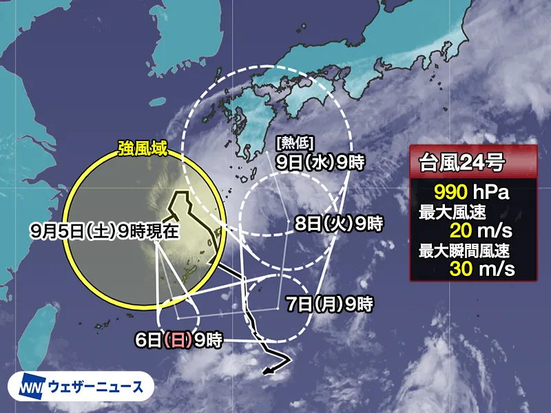
Japan’s leading weather and disaster specialists are urging residents and visitors to rethink how they respond to sudden, extreme rainfall. Their message is blunt: evacuating after the rain starts can be dangerously late. The warnings follow a string of severe cloudburst events from mid-August that set record rainfall totals in Chiba, Ishikawa, Toyama and Fukui, overwhelming drainage systems and inundating roads far from rivers or the coast.
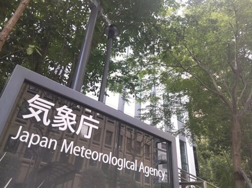
Meteorologist Masamitsu Morita explains the physics behind what Japan is experiencing. As global temperatures rise, the atmosphere can hold more moisture—about 7% more for every 1°C of warming. That extra water vapor turns into heavier, more frequent rain. Japan Meteorological Agency (JMA) data show that episodes of extreme precipitation—such as more than 80 mm in an hour or 300 mm in a day—have roughly doubled over the past four decades. In short, what used to be rare is becoming routine.
What recent disasters revealed
Chiba Governor Toshihito Kumagai noted that late-August flooding struck even outside official inundation zones, and in some mapped zones the water rose higher than scenarios anticipated. Much of the damage came from “internal water flooding”—urban overflows when sewers and drains cannot keep up—leading to about 2,800 submerged vehicles. Former firefighter and disaster specialist Kojiro Nomura reported car submersions at sites 22 meters above sea level and far from rivers, underscoring how surface depressions can become dangerous bowls that fill quickly when cloudbursts hit cityscapes.
The storm-season “don’ts” from Japan’s safety advisers
Preparedness adviser Tomoya Takani stresses that recognizing local risks is the starting point: know your neighborhood’s terrain, flood history and landslide exposure. But the experts emphasize three critical “don’ts”—and more—that can save lives:
- Don’t skip the maps. Before disaster season, review your municipality’s hazard maps for flood depths, storm-surge zones and landslide alert areas. For broader, uninterrupted views across city lines, use the national “Kasaneru Hazard Map” and the Geospatial Information Authority (GSI) “GSI Maps” platform, which lets you overlay multiple hazards.
- Don’t overtrust the maps. Maps are built on past data and models and are periodically updated, but reality can exceed assumptions. Check them annually—Japan’s peak wind-and-water season ramps up from early summer through early autumn—and plan with margin for the unexpected.
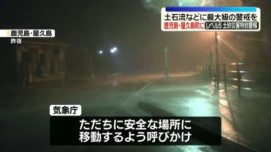
- Don’t wait to act. Nobuyuki Tsuchiya of the Riverfront Research Institute warns that residents in flood-risk areas should not delay evacuation until heavy rain arrives. Follow JMA’s five-level alert scale: at Level 3, elderly and those who need more time should evacuate; at Level 4, everyone should evacuate immediately; Level 5 indicates a life-threatening situation already unfolding.
- Don’t drive into water—ever. Avoid underpasses and low-lying roads that can fill rapidly. Just 30 cm of moving water can sweep a vehicle away; stalled cars can become death traps as water rises. If trapped and water is entering, exit and move to higher ground while it is still shallow and slow.
- Don’t walk with an umbrella in floodwaters. Keep both hands free for balance, grip and self-rescue. Use a sturdy stick to probe footing and avoid hidden hazards like open manholes, uneven pavement and fast currents.
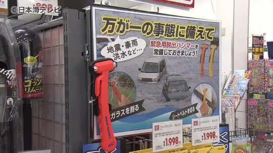
- Don’t rely solely on your smartphone. Power and networks can fail. Prepare an emergency kit with battery packs, a flashlight, portable radio, medications, water and high-energy food. In Japan, many families also keep a small life jacket, whistle and plastic bottles for improvised floatation.
Tools Japan offers—and how foreign residents can use them
Japan’s public agencies provide world-class, data-rich tools to help people decide early and move safely. The JMA issues real-time radar, nowcasts and warnings in English (jma.go.jp) and supports the nationwide five-level alert system that local governments use in evacuation messaging. The GSI “Make Your Own Colored Elevation Map” feature allows users to visualize neighborhood height differences in 50-centimeter increments—priceless for spotting low spots that pool water during cloudbursts. For layered hazard views, visit the national Hazard Map Portal (disaportal.gsi.go.jp) and GSI Maps (maps.gsi.go.jp).
For visitors and international residents, Japan National Tourism Organization’s Safety Tips app (jnto.go.jp/safety-tips) provides multilingual alerts for weather and other hazards, while NHK World and many city halls post English updates during severe weather. Learn your ward or city’s shelter locations in advance; in Japan, schools and public centers are typically designated evacuation sites and are clearly signposted.
Why this matters beyond one storm
Japan’s experience shows how a data-driven, community-minded approach enhances resilience: detailed hazard mapping, disciplined public communication and widespread disaster literacy save lives. But climate-driven extremes are raising the stakes. The takeaway from Japan’s specialists is universal: understand your local risks, plan ahead, and act before the sky opens. In an age of record-setting cloudbursts, the safest evacuation is the earliest one.